| Water Level Station 1: BARANGAY MATICTIC, NORZAGARAY |
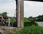
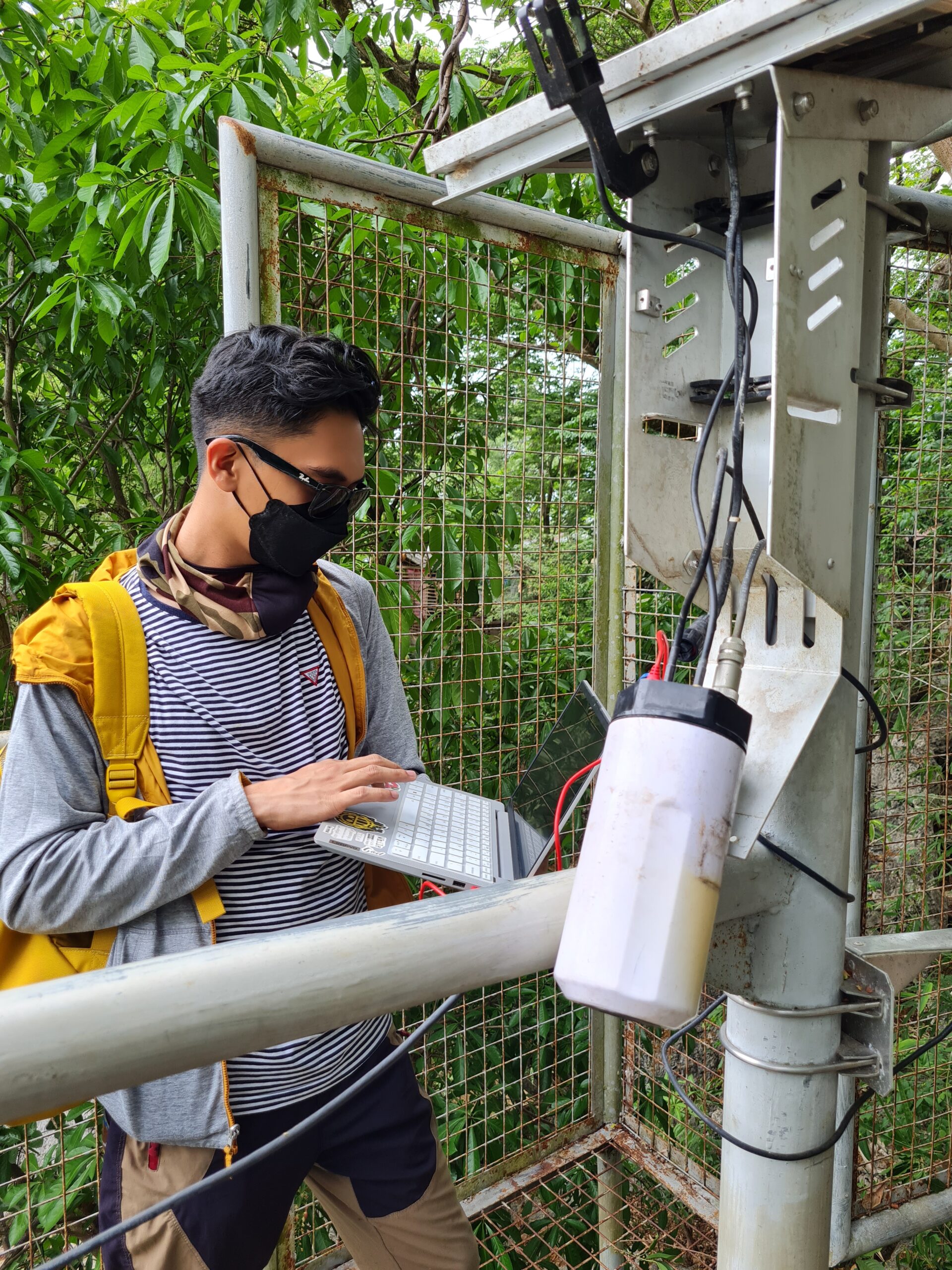
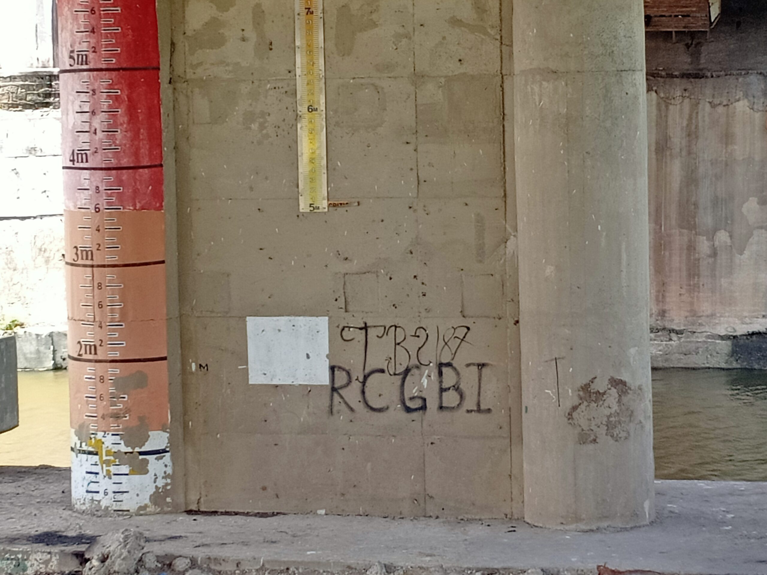
The staff gauge in Bgy. Matictic, Norzagaray is painted in one of the bridge’s post of the Matictic Bridge. The staff gauge is a 3-meter graduation mark situated at the right bank of the river section at that point.
| Location | : Barangay Matictic, Norzagaray |
| Latitude | : 14.91036 |
| Longitude | : 121.05106 |
| Elevation | : 121 º 03’ 00.5” E |
| Water Level Station 2: BARANGAY STA. LUCIA, ANGAT |
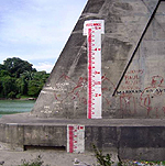
The staff gauge is painted in one of bridge’s post of the Angat-DRT Bridge. The staff gauge is a 4-meter graduation mark situated at the right bank of the river section at that point at the upstream side of the bridge. on the right is the repainted 3-tiered staff gage in Sta Lucia Bridge, Angat.
| Location | : Barangay Matictic, Norzagaray |
| Latitude | : 14 º 56’ 30.1” N |
| Longitude | : 121 º 01’ 15.9” E |
| Elevation | : 26.612 meters (estimated) |
| Water Level Station 3: BARANGAY TIBAGAN, BUSTOS |
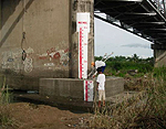
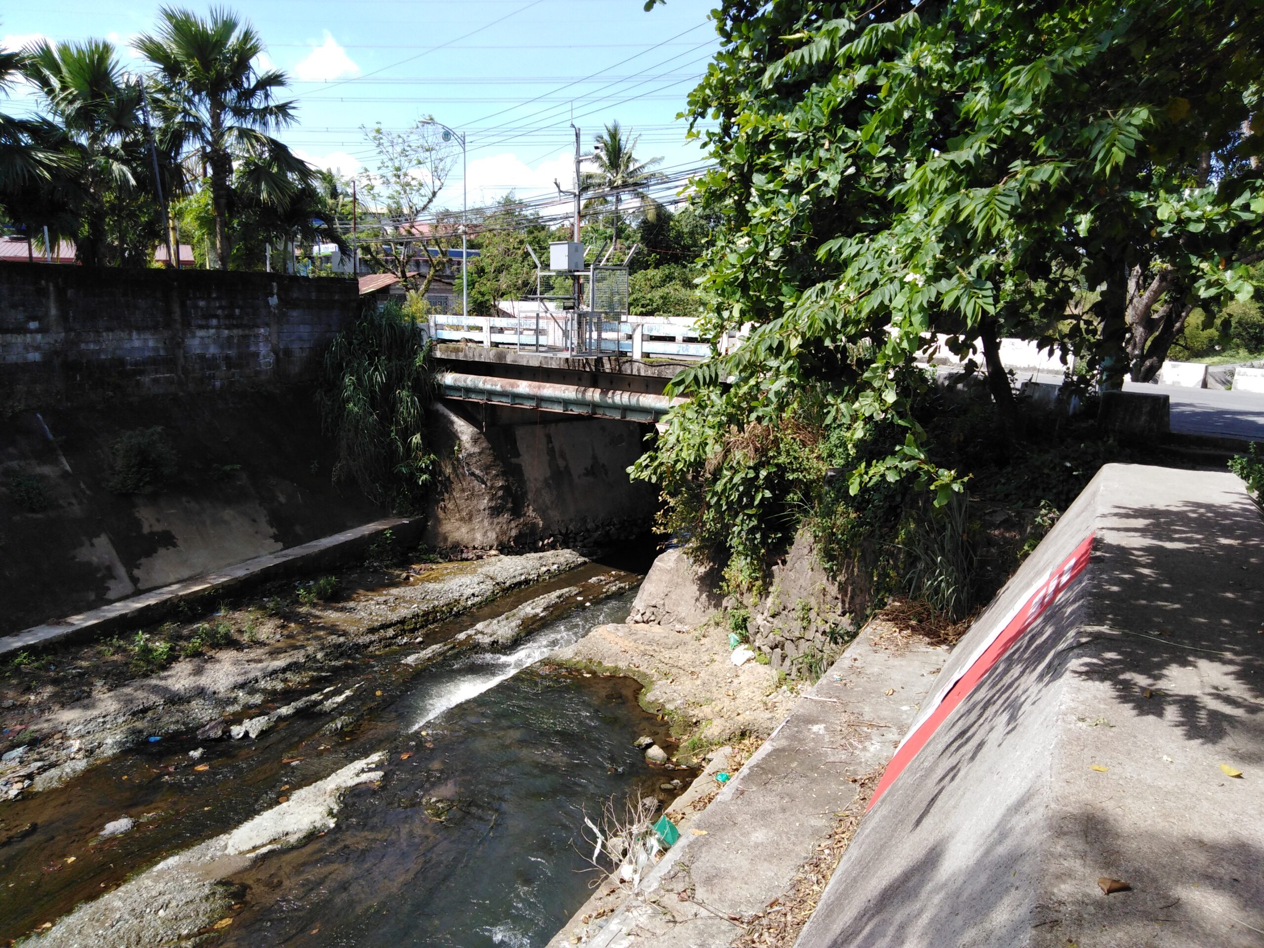
The staff gauge is painted on an electric post some 80 to 100 meters downstream of the Bustos Dam. The staff gauge is a 3-meter graduation mark situated at the left bank of the river section at that point.
| Location | : Barangay Tibagan, Bustos |
| Latitude | : 14 º 57’ 30.1” N |
| Longitude | : 120 º 57’ 00.8” E |
| Elevation | : 15.165 meters (estimated) |
| Water Level Station 4: POBLACION, BUSTOS |
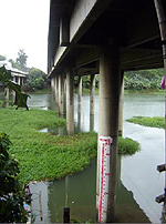
The staff gauge is painted on the bridge’s post of the Alejo Santos Bridge connecting the towns of Baliuag and Bustos. The gauge is situated at the left bank, upstream side of the bridge. The image below shows the houses on the left bank of the river.
| Location | : Barangay Poblacion, Bustos |
| Latitude | : 14.956111 |
| Longitude | : 120.908056 |
| Elevation | : 11.575 meters (estimated) |
| Water Level Station 5: BARANGAY TIBAG, BALIUAG |
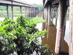
The staff gauge is situated on the right bank of the river at the downstream side of the bridge. The 4-meter staff gauge is painted in one of the bridge’s post of Alejo Santos bridge, Baliuag side.
| Location | : Barangay Tibag, Baliwag |
| Latitude | : 14 º 57’ 29.6” N |
| Longitude | : 120 º 54’ 17.5” E |
| Elevation | : 11.575 meters (estimated) |
| Water Level Station 6: BARANGAY PARULAN, PLARIDEL |
The 6-meter staff gauge is painted on the bridge’s post of the Plaridel-Pulilan bridge; situated at the left bank, downstream side of the bridge. The image below shows the repainted staff gauge in Pulilan Bridge.
| Location | : Barangay Parulan, Plaridel |
| Latitude | : 14 º 53’ 36.0” N |
| Longitude | : 120 º 52’ 22.6” E |
| Elevation | : 6.072 meters (estimated) |
| Water Level Station 7: BARANGAY STO.CRISTO, PULILAN |
The staff gauge is painted on the bridge’s post of the Plaridel-Pulilan bridge, on the right bank, downstream side of the bridge.
| Location | : Barangay Sto. Cristo, Pulilan |
| Latitude | : 14 º 53’ 36.0” N |
| Longitude | : 120 º 52’ 22.6” E |
| Elevation | : 6.773 meters (estimated) |
| Water Level Station 8: BARANGAY BANGA 1st, PLARIDEL |
The 5-meter staff gauge is painted on the bridge’s post along the Pulilan-Plaridel bridge at Barangay Banga 1st, Plaridel. The gauge is situated at the left bank of the river at the downstream side of the bridge.
| Location | : Barangay Banga 1st, Plaridel |
| Latitude | : 14 º 53’ 34.2” N |
| Longitude | : 120 º 51’ 54.5” E |
| Elevation | : 8.37 meters (estimated) |
| Water Level Station 9: BARANGAY TIBAG, PULILAN |
The 4.5 staff gauge is painted on the bridge’s post of the NLEX bridge (southbound) situated on the right bank of the river at the upstream side of the bridge. The image below is the repainted staff gauge in NLEX Bridge in Tibag, Pulilan
| Location | : Barangay Tibag, Pulilan |
| Latitude | : 14 º 54’ 19.5” N |
| Longitude | : 120 º 49’ 10.2” E |
| Elevation | : 2.31 meters (estimated) |
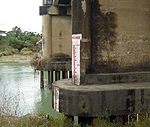
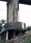
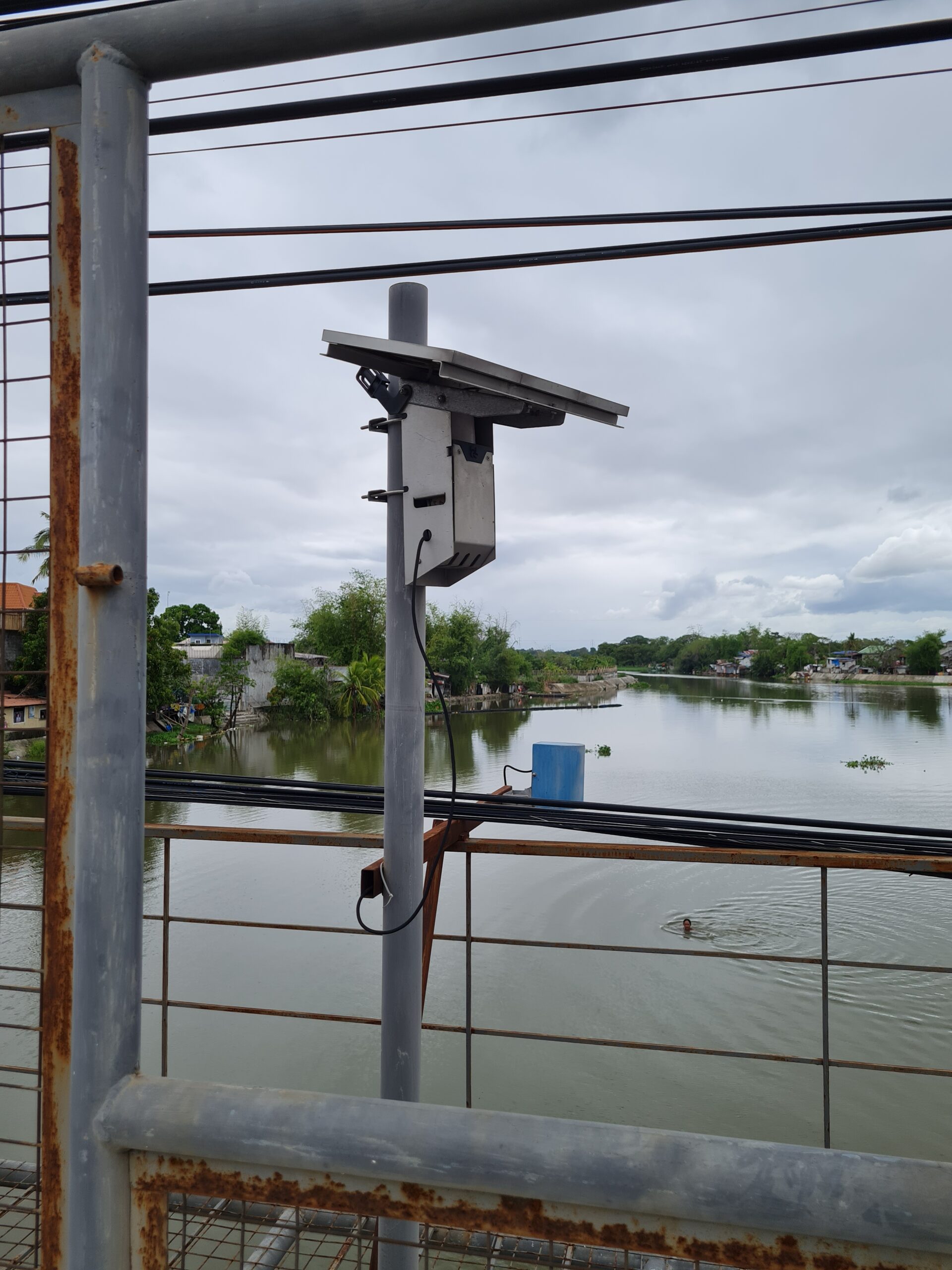
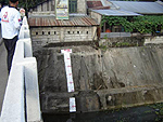
| Water Level Station 10: BARANGAY CANIOGAN, CALUMPIT |
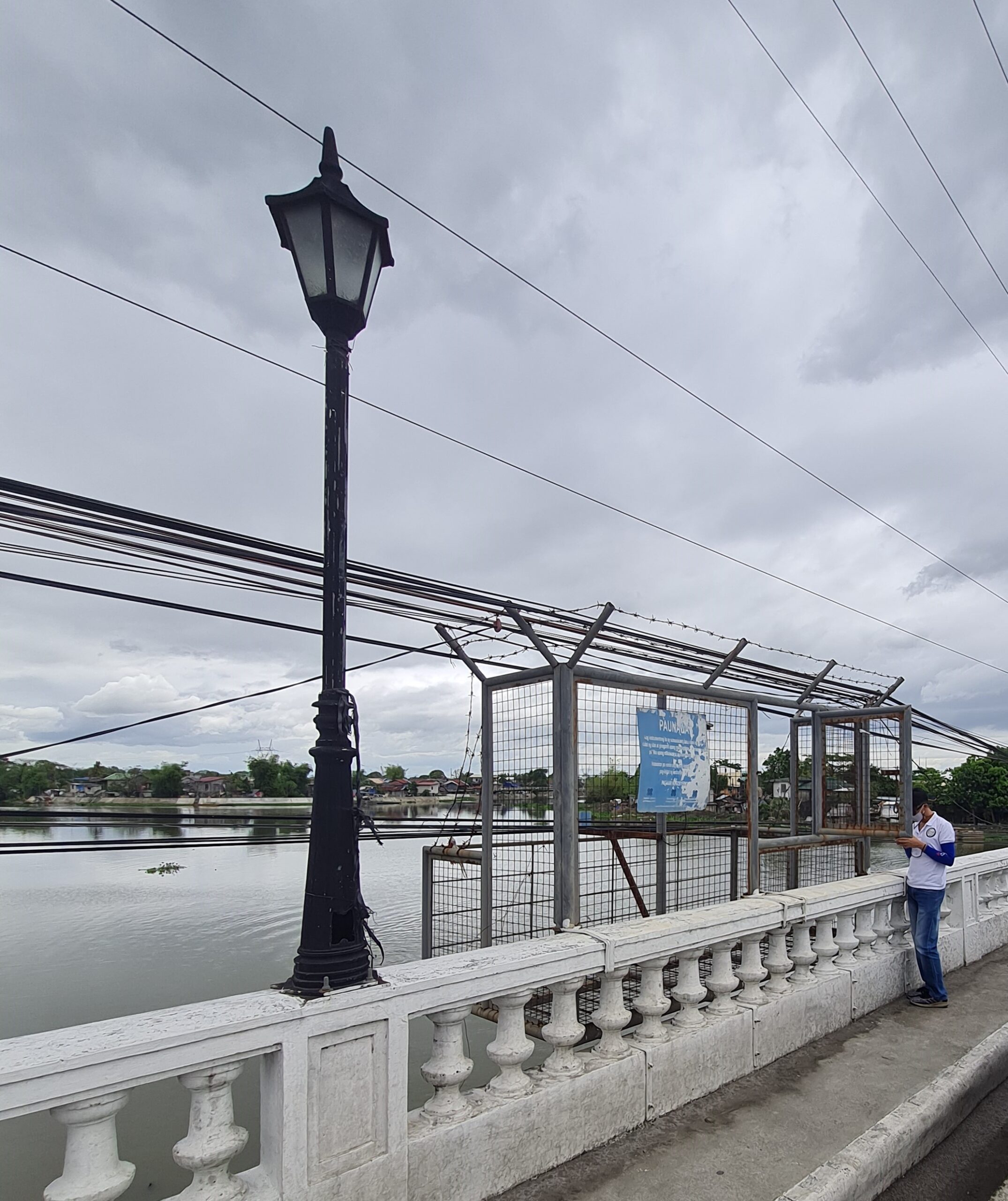
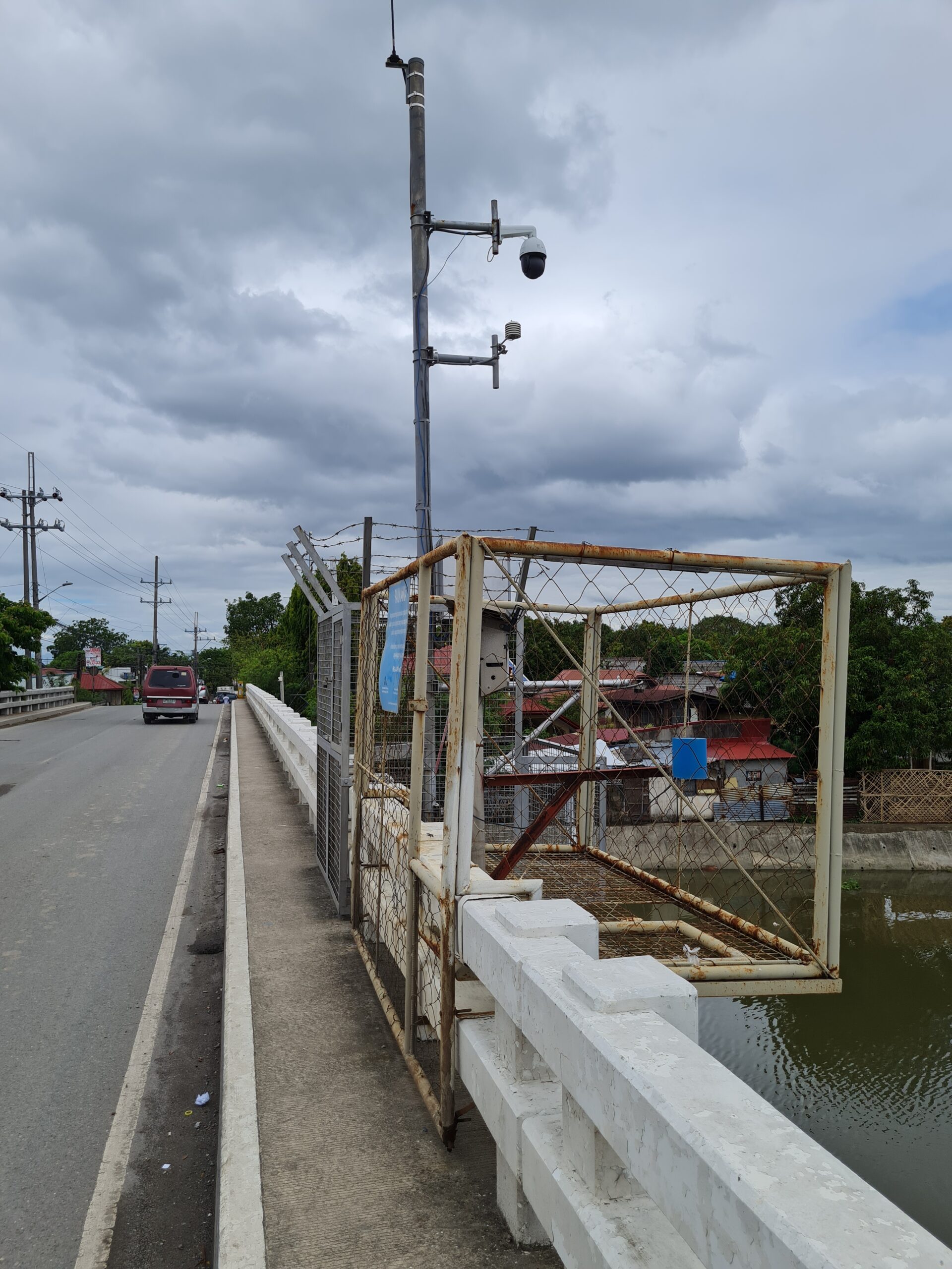
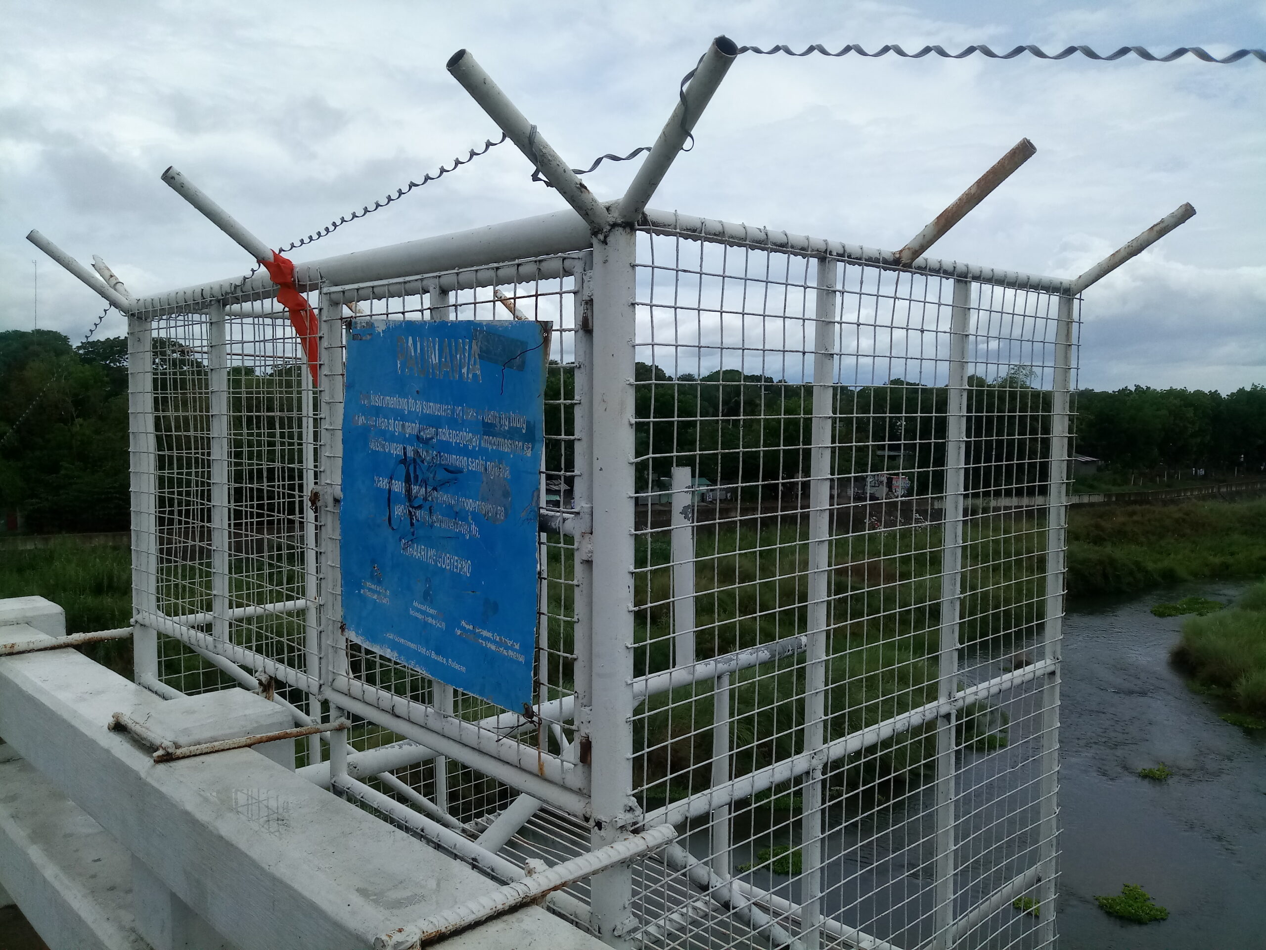
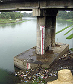
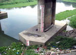
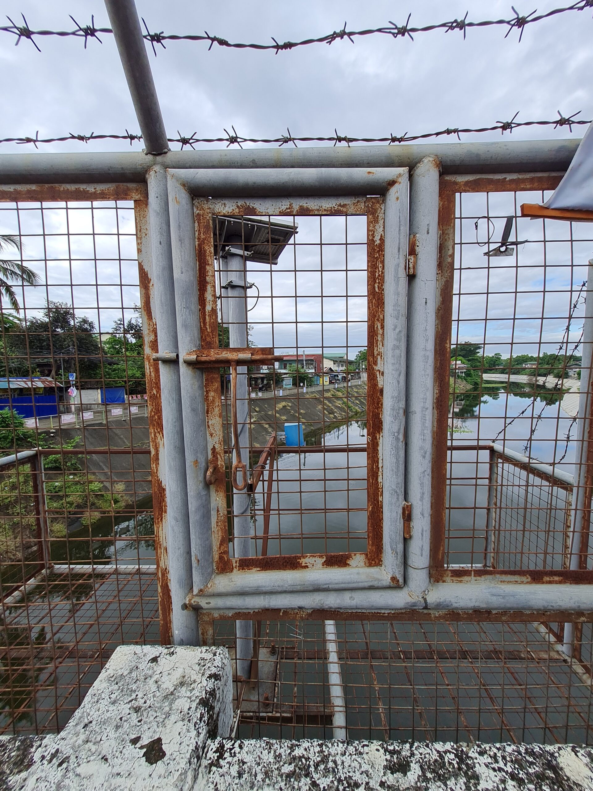
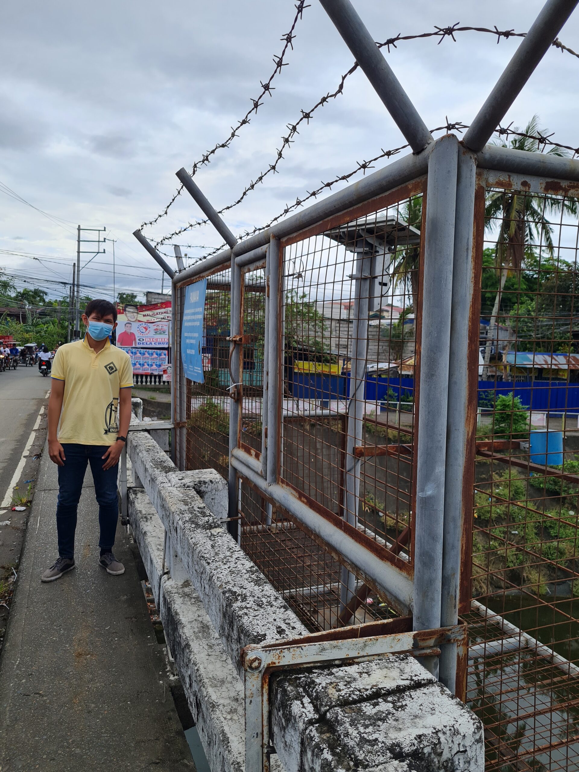
The 3.5-meter staff gage is painted on the bridge’s post of the Bagbag bridge situated at the right bank, upstream side of the said bridge. Repainted staff gauge in Caniogan Bridge with flood level indicators during Marce & Ondoy.
| Location | : Barangay Caniogan, Calumpit |
| Latitude | : 14.904840 |
| Longitude | : 120.77556 |
| Elevation | : 2.296 meters (estimated) |
| Water Level Station 11: CALUMPIT BRIDGE – CALIZON, CALUMPIT |
| Location | : Calumpit Bridge – Calizon, Calumpit |
| Latitude | : 14.92 |
| Longitude | : 120.7658 |
| Water Level Station 12: BARANGAY SAN VICENTE, SAN MIGUEL |
The 3.5-meter staff gauge is located on the inclined concrete riprap along the San Miguel river beside the Oriente Bridge, Maharlika Hi-way, in the town of San Miguel. The gauge is graduated every half meter and situated at the right bank, on the upstream side of the bridge.
| Location | : Barangay San Vicente, San Miguel |
| Latitude | : 15 º 08’ 31.9” N |
| Longitude | : 120 º 58’ 00.2” E |
| Elevation | : 13.524 meters (estimated) |
| Water Level Station 13: SAN JUAN BRIDGE – POBLACION, SAN MIGUEL |
| Location | : San Juan Bridge – Poblacion, San Miguel |
| Latitude | : 15.13917 |
| Longitude | : 120.97754 |
| Water Level Station 14: SALACOT BRIDGE, ILOG BULO, SAN MIGUEL |
| Location | : Salacot Bridge, Ilog Bulo San Miguel |
| Latitude | : 15.182716 |
| Longitude | : 120.960437 |
| Water Level Station 15: MADLUM RIVER – SIBUL, SAN MIGUEL |
| Location | : Madlum River – Sibul, San Miguel |
| Latitude | : 15.17036 |
| Longitude | : 121.08295 |
| Water Level Station 16: BARANGAY MAASIM, SAN ILDEFONSO |
The 3.5-meter staff gauge is painted on the bridge’s post of the Maasim bridge, along Maharlika Hi-way on the left bank, upstream side of the bridge.
| Location | : Barangay Maasim, San Ildefonso |
| Latitude | : 15.040112 |
| Longitude | : 120.937818 |
| Elevation | : 16.497 meters (estimated) |
| Water Level Station 17: POBLACION, STA. MARIA |
The more than 3-meter staff gage is painted on a wooden electric post located at the upstream side, right bank of the Sta. Maria bridge (Jose Corazon de Jesus Street).
| Location | : Barangay Poblacion, Sta. Maria |
| Latitude | : 14 º 49’ 08.5” N |
| Longitude | : 120 º 57’ 27.1” E |
| Elevation | : 26.972 meters (estimated) |
| Water Level Station 18: CADIZ BRIDGE, SAN JOSE DEL MONTE |
The newly installed staff gauge in San Jose Del Monte City near the San Jose Del Monte National High School.
| Location | : San Jose del Monte Centro near San Jose Del Monte National High School |
| Latitude | : 14 º 48’ 40” N |
| Longitude | : 121 º 02’ 58” E |
| Elevation | : 50 meters (estimated) |
| Water Level Station 19: KARYAPAY BRIDGE, DULONG BAYAN, SAN JOSE DEL MONTE |
Staff gauge installed at Karyapay Bridge, Dulong Bayan in San Jose Del Monte.
| Location | : Karyapay Bridge, Dulong Bayan SJDM |
| Latitude | : 14.830586 |
| Longitude | : 121.042403 |
| Elevation | : 40 meters (estimated) |